UAV in hydrological and meteorological research

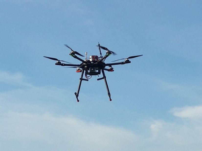
Unmanned Aerial Vehicles (UAV), commonly called drones, are increasingly used in various areas of science and technology, including environmental monitoring and research. One drone mission allows to collect a large number of observations of various environmental parameters, the collection of which from the ground would require a much longer time or would be often impossible. The drone enables access to places at are difficult or dangerous to reach for a man. Drone observations are the intermediate link between ground-based observations and aircraft and satellite observations. The drone can be equipped with the sensors and devices that collect a variety of environmental data and information, for example cameras recording images in different spectral ranges of visible and infrared light, meteorological sensors measuring temperature, humidity, and wind speed, and even radars, sonars and laser scanners enabling generation of precise elevation maps. Analysis of the data collected during drone flights allows to create accurate digital surface models of the terrain as well as surface properties of land and water including land use.
A Research Group comprising experts in different field from the Department of Environmental Physics and other departments of AGH. A pivotal role in group activities plays Radosław Szostak who is a PhD candidate at the AGH Doctoral School.
 |
Digital Surface Model of a part of the Kocinka RIver valley built from data collected during a reconnaisance UAV survey in November 2019 |
Hydrological applications will be related to the determination of some key elements of catchment water balance that are difficult to estimate by the use of traditional methods, such as: (i) gwundwater contribution to the streamflow, (ii) water loses from river valleys due to evapotranspiration.